A tide prediction is not the water in front of you
Learn what a prediction describes and keep it distinct from current conditions and local access information.
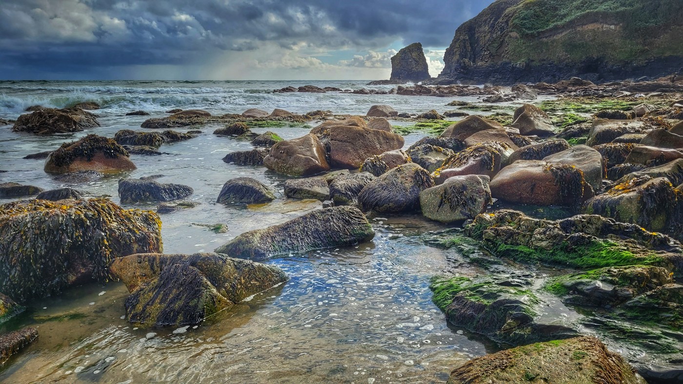
A tide table is useful information, but it is not a photograph of the future shoreline. Its times and heights describe a prediction for a particular place and reference system. Understanding those labels helps you use the information as part of a wider picture rather than as permission to enter an unfamiliar area.
Check the place, date and clock
Before reading a value, confirm the station or location, the date and the time convention shown by the service. A time copied from a different coast or displayed in a different zone can be misleading. Keep the original source link with any value you record so that the labels remain available.
Do not transfer a station's prediction to an apparently nearby site without appropriate official guidance. The geography of a coast matters, and a familiar place name is not enough to establish that two locations share the same timing or water-level behaviour.
Separate prediction and observation
NOAA's Tides and Currents information distinguishes astronomical tide predictions from observed water levels and explains that weather can create differences between them. A predicted high or low value is therefore not a complete account of the conditions you will encounter.
Where a service displays both, check which series you are viewing. Do not describe a forecast, a prediction and a measured value as if they were interchangeable. If you cannot tell which one a graph shows, read its help page before drawing a conclusion.
Add the information the table does not provide
Consult current local marine weather, coastal warnings and access instructions. Waves, slippery surfaces, closures and routes that can become cut off are practical questions a single tide value cannot resolve. Follow the responsible local authority's guidance and do not use this article as a route plan.
For an observation from an established, suitable viewpoint, note the actual visible conditions as well as the prediction. Record the time you were there and describe what you saw without treating a casual sight line as a calibrated water-level measurement.
Use comparisons for learning
If a view differs from what you expected, ask whether the source location, time setting or type of data was misunderstood. Then look for relevant official context. Do not infer a long-term sea-level change or a prediction failure from one unmeasured observation.
The useful habit is careful labelling. A prediction, a recorded measurement and a personal description can all contribute information, but they answer different questions. Keeping those roles clear makes a tide table more useful and leaves room for the current local conditions that matter on the day.
Data reference: NOAA Tides and Currents FAQ and tide prediction help.