Compare a shoreline from one repeatable view
A consistent viewpoint and clear context help distinguish an observation from a dramatic before-and-after story.
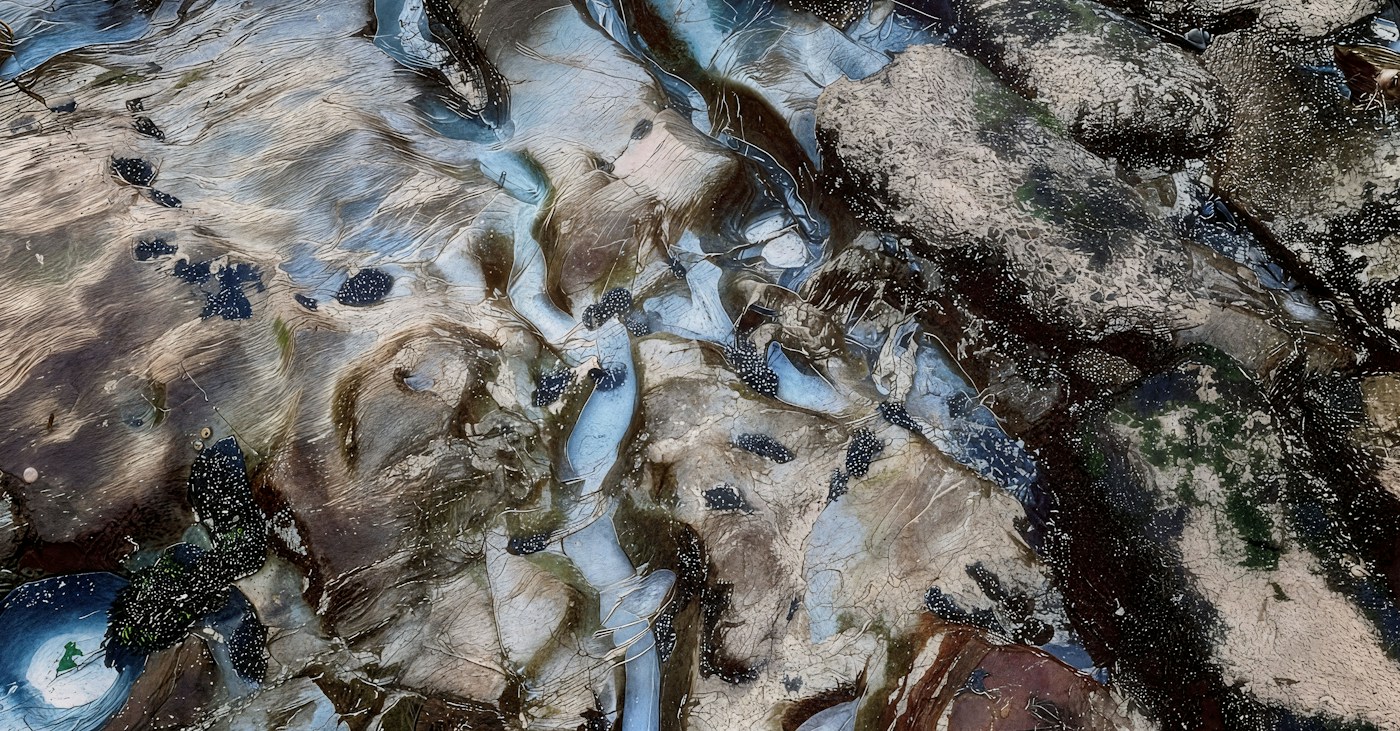
Two photographs can make a shoreline look transformed. They can also show different tides, camera positions or fields of view. Before treating them as evidence of a particular process, establish what can genuinely be compared. A modest repeat photograph is useful when its limits are recorded as carefully as its visible changes.
Choose a responsible viewpoint
Use an established, permitted location away from unstable edges and other hazards. Do not approach a bluff or eroded bank to recreate a photograph. If the old viewpoint is no longer safely accessible, record that and choose another appropriate location rather than forcing the comparison.
Include recognisable, relatively fixed reference features in the view where possible. Record the general position and direction without publishing private access information. You are building a descriptive comparison, not setting out survey control points.
Keep the frame understandable
Use a similar field of view and orientation for later images. Preserve the original files and dates. If you crop or adjust an image for presentation, label the change and retain the unedited version so that the comparison does not depend on invisible processing decisions.
Write down weather, visible wave conditions and the relevant tide information. A wet line, a vegetation edge and the water's edge are different features. Name the feature you are comparing rather than calling all of them the shoreline without explanation.
Describe change before explaining it
USGS describes how storm waves can move sand offshore and how elevated water and waves can erode dunes. Those are examples of coastal processes, not a diagnosis that can be assigned to every pair of photographs. Several influences may affect the particular scene.
Start with what is visible: a wider exposed beach in one image, a changed bank profile or a reference feature no longer visible. If the images do not support a reliable distance measurement, do not attach one. A photograph can illustrate a question without supplying its full scientific answer.
Add context from an appropriate source
Look for local geological or coastal-monitoring information if you want to understand the change. Distinguish those findings from your own observation. A published assessment may use surveys, water-level records and time series that a casual photograph does not contain.
Keep incomplete comparisons. A note that the tide stages differ can make an image unsuitable for one question but still useful as a record of conditions. The aim is not to manufacture a striking transformation. It is to develop a repeatable view that supports clearer questions about a dynamic place, while showing readers exactly what the images can and cannot establish.
Process reference: USGS: storm-induced coastal change. Casual repeat photographs are not a coastal survey.